The Arctic Circle road trip: doing the Dempster Highway
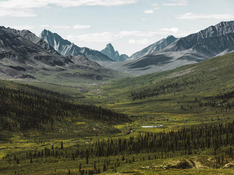
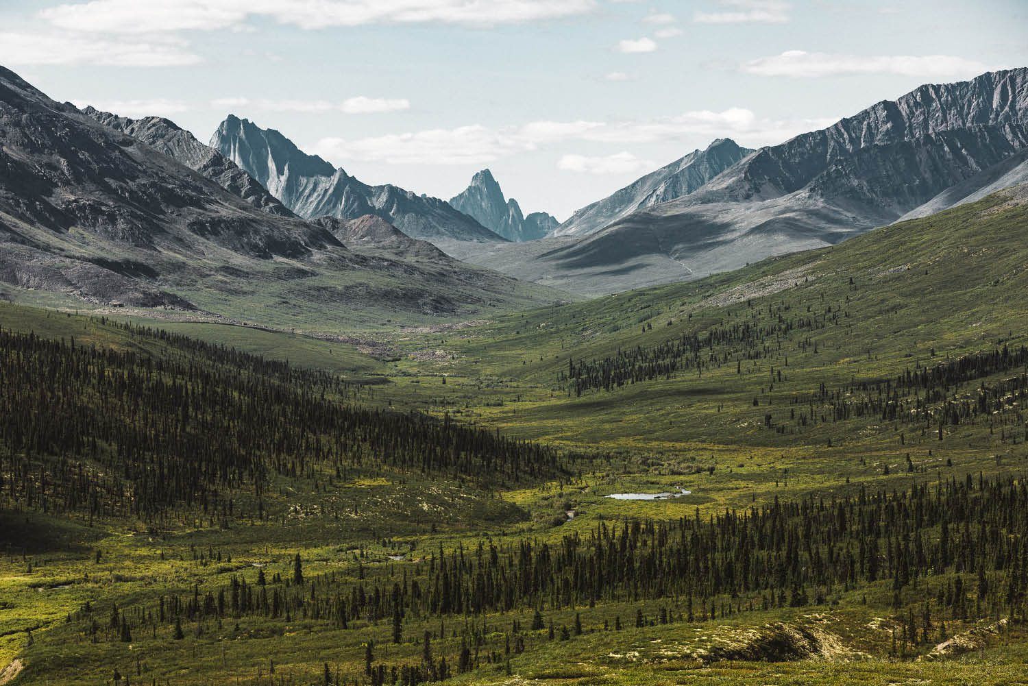
In the distance, the mountain that gives 'Tombstone' Territorial Park its name (photo: Brook James).
In winter, The Dempster is the highway where Ice Road Truckers fear to tread, but after ‘the thaw’ there is no more scenic and adventurous way to drive straight up to the Arctic Circle. Come with us as we cross the Continental Divide on this road trip of a lifetime.
Kilometre Zero
I was expecting the last gas station for 370 kilometres to be a font of knowledge: updated road conditions, where to look out for rogue grizzlies, the usual stuff. But there’s a hitch. There’s no attendant, loo, or even a coffee machine at this last-chance bowser, which sits at the genesis of the Dempster Highway, where it leaves the relative sanctuary of the Klondike Highway in its dust. I punch in my PIN and fill the six-tonne RV’s greedy tank until it spits out the excess.
For the first few hundred summery and bucolic metres, the lonely highway doesn’t seem daunting. But the Dempster, mythologised in the television show Ice Road Truckers, sheds its token tarmac soon after the intersection, as if to say, “You won’t need this where you’re going”. Some passing visionary has drawn a single horn on a roadside sign that warns of wild horses. I accelerate into this magical place, looking for the freely galloping unicorns.
The first sight
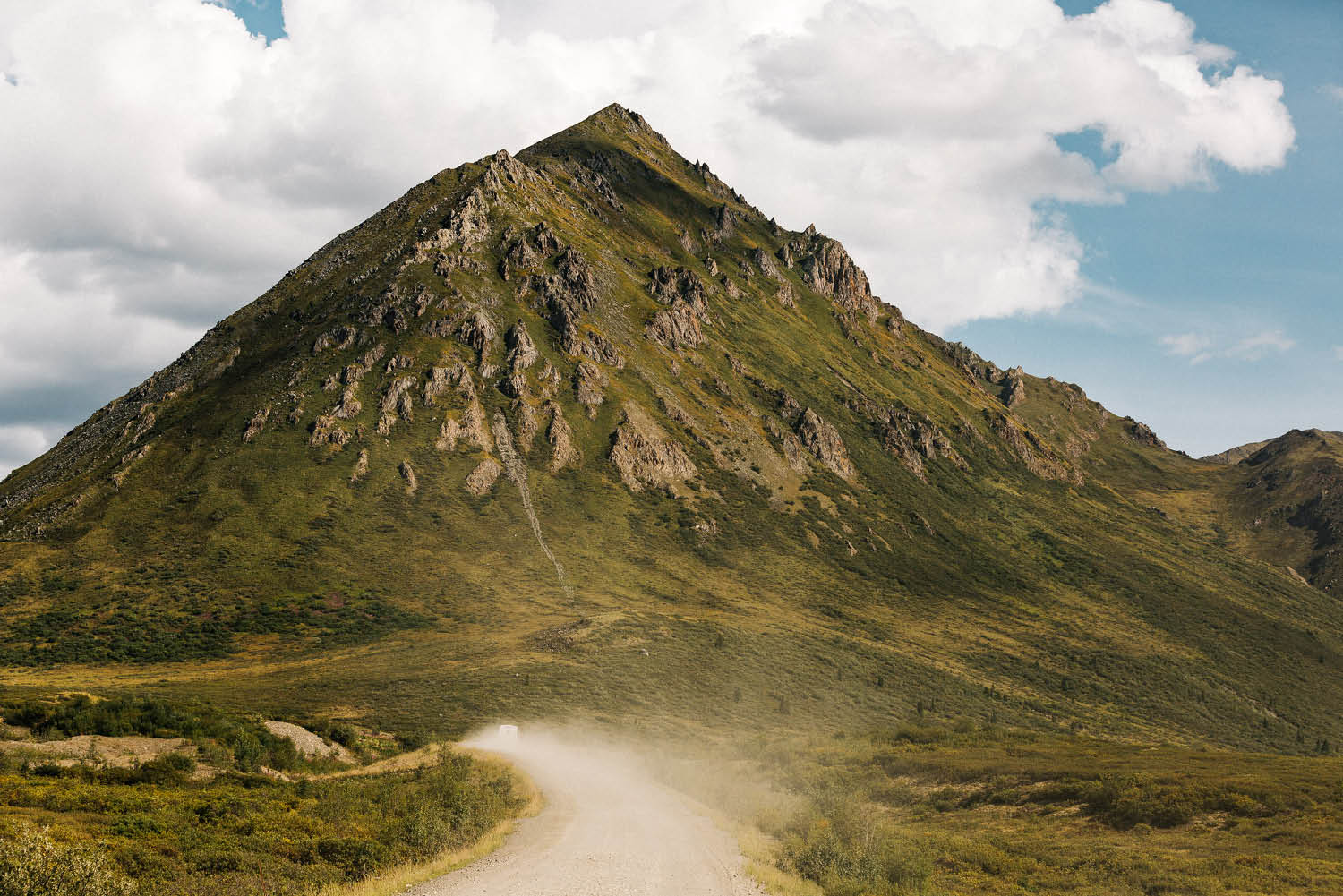
It’s a long, dusty and bumpy ride but Yukon’s Dempster Highway is a road trip of a lifetime, that’s for sure (photo: Brook James).
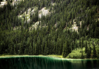
A solitary tree pokes up from a suspiciously stacked island in the middle of a serene lake that truly mirrors the mountain range behind it. But the mirror breaks; a determined, silvery ripple; then a second, a third.
The beavers slap their paddle-like tails in the steely blue water as they climb onto the dam, again and again, to deposit, move and finesse the clumps of sticks, branches and mud that constitute their ever-expanding dam-cum-home. They’re still busy at it as I accelerate up the dusty hill into the wilderness. Some clichés are on point, I think to myself, especially beaver-related ones.
Tombstone Territorial Park (Kilometre 71)

In the distance, the mountain that gives ‘Tombstone’ Territorial Park its name (photo: Brook James).
Tombstone’s jagged peaks jump out of the trees like a scary clown, but the ‘Rugged Mountain Land’ as First Nation Tr’ondëk Hwëch’in know it, soon becomes a benevolent all-embracing friendly presence.
Lodge-like Tombstone Interpretive Centre punctuates the valley centre, beckoning travellers inside with its antler-topped authority. Inside, hiking options are laid on the table by peachy-keen Parks Canada officer Ellen, who has trekked all of Tombstone’s hikes many times over and genuinely wants me to do the same. She’s can’t even finish describing one trail before another idea zaps her like a taser. There are no “don’t do’s”, just “here’s what you need to know before you go”, an invigorating change from the nanny-state culture of my native hometown, Sydney.
Goldensides summit
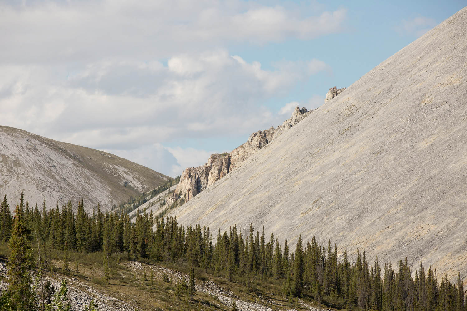
The high point: you have to drive over three sets of ranges to get from the start of the Dempster Highway to the Arctic Circle, Yukon (photo: Brook James).
From up on Goldensides summit, the mighty Dempster looks like a strand of grey dental floss laid out on the valley floor, which stubbornly coils all the way to the Arctic. Peaks burst out of the verdant alpine tundra like giant bubbles.
The trail is usually a cruisy 3.4 kilometres up and back to a viewpoint, but I take it quite a few steps further and scramble up the scree to the peak for 360 degrees of wispy, cotton-ball clouds and a telescopic outlook straight down the North Klondike River to Tombstone Mountain itself, which looks like it stands on tippy toes just to outdo its peers. In the mid-distance down on the river, a patch of ice a city block wide disrupts the endless shades of greens and yellows; it gleams feverishly, like a statement of things to come, on the shady side of autumn.
After a ‘scree-ski’ back down to the RV, I notice a poetic reminder that I missed on the way up: “Hikers warning: If you see raven circling in the sky, maybe there’s a carcass close by … watch out for bears or wolves,” says the sign.
Wandering around
The four-metre-high, eight-metre-long RV looks perfectly cosy in its piny nook at Tombstone campground, like they were custom-made for each other. I wade into a clear warbling stream directly behind it for some post-hike relief. The brisk water constricts my chest, slaps me awake, like a Sunday night that magically turns into a Friday afternoon.
It’s berry season so I wander through the landscape’s natural fruit bowl. As the Tr’ondëk Hwëch’in have done forever and a day, I pick tiny wild blueberries, moss berries, and cranberries, using Parks Canada signs as a reference. The blueberries are half the size and twice as tart as their vapid supermarket cousins, but much more satisfying in every other way.
The next day
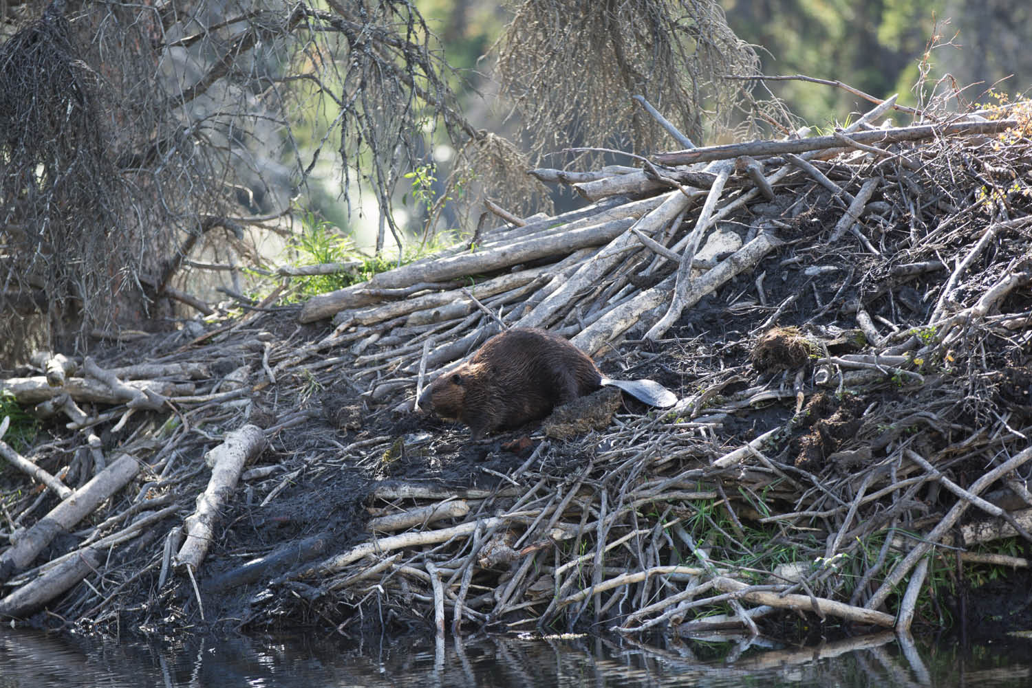
The busiest animal in Yukon. A hyperactive beaver perpetually builds and restores the dam (photo: Brook James).
Winding north, past Tombstone’s ring of stone, feels like an accomplishment on the road of life. Southern Ogilvie Mountains range conquered: tick. Which leaves just two more ranges to conquer on this Arctic Circle road trip: the Northern Ogilvie and Richardson ranges.
A dark roadside fissure reveals a layer of subterranean ice capped by topsoil matted together by ground-hugging plants, a reminder that this summer carpet is almost universally under-laid with permafrost (literally, permanently frozen ground). I guess this sort of makes me an Ice Road Trucker, right?
Two Moose Lake (Kilometre 103)
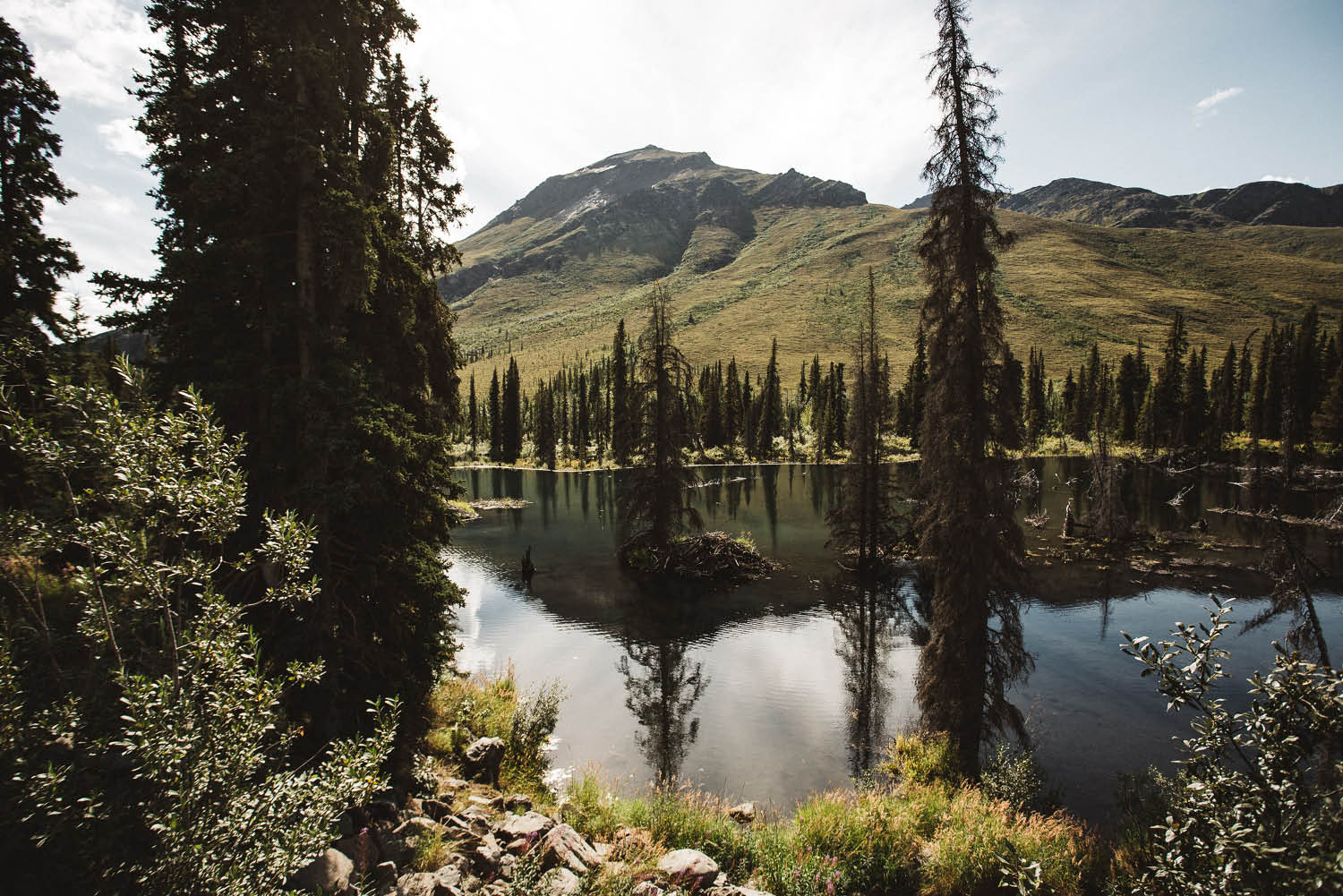
Spot the beaver dam (hint: follow the tree down). Just south of Tombstone Territorial Park, Yukon (photo: Brook James).
Two Moose Lake feels spiritual, the kind of place where even if your eyes can’t see a living soul, the rest of your senses know that your eyes lie. Traditionally, the remote lake was a First Nation hunting ground. The earth would be ‘cleansed’ after every hunt so moose would return the following year. And they still do. Far, far out in the lake, a single moose stands up to its hind quarters in the cold water, still as a sculpture, as if contemplating the meaning of life. Unfortunately, she’s too far out to ask where the second moose is today.
Further on, on the lonely Blackstone Uplands, a mumma and two jet-black black bear cubs pop out of the bushes in front of me. Just as camera is raised, a panicked moose sprints across the scene into its forested sanctuary. Further on still, a grizzly grazes on roadside berries. He ignores the two hyper-ventilating humans in his midst. The first few days of this RV road trip, from Whitehorse to Dawson City, had been basically wildlife-less, save for a plethora of squirrels and the odd fox, but now, thankfully, the floodgates have opened.
Driving onwards
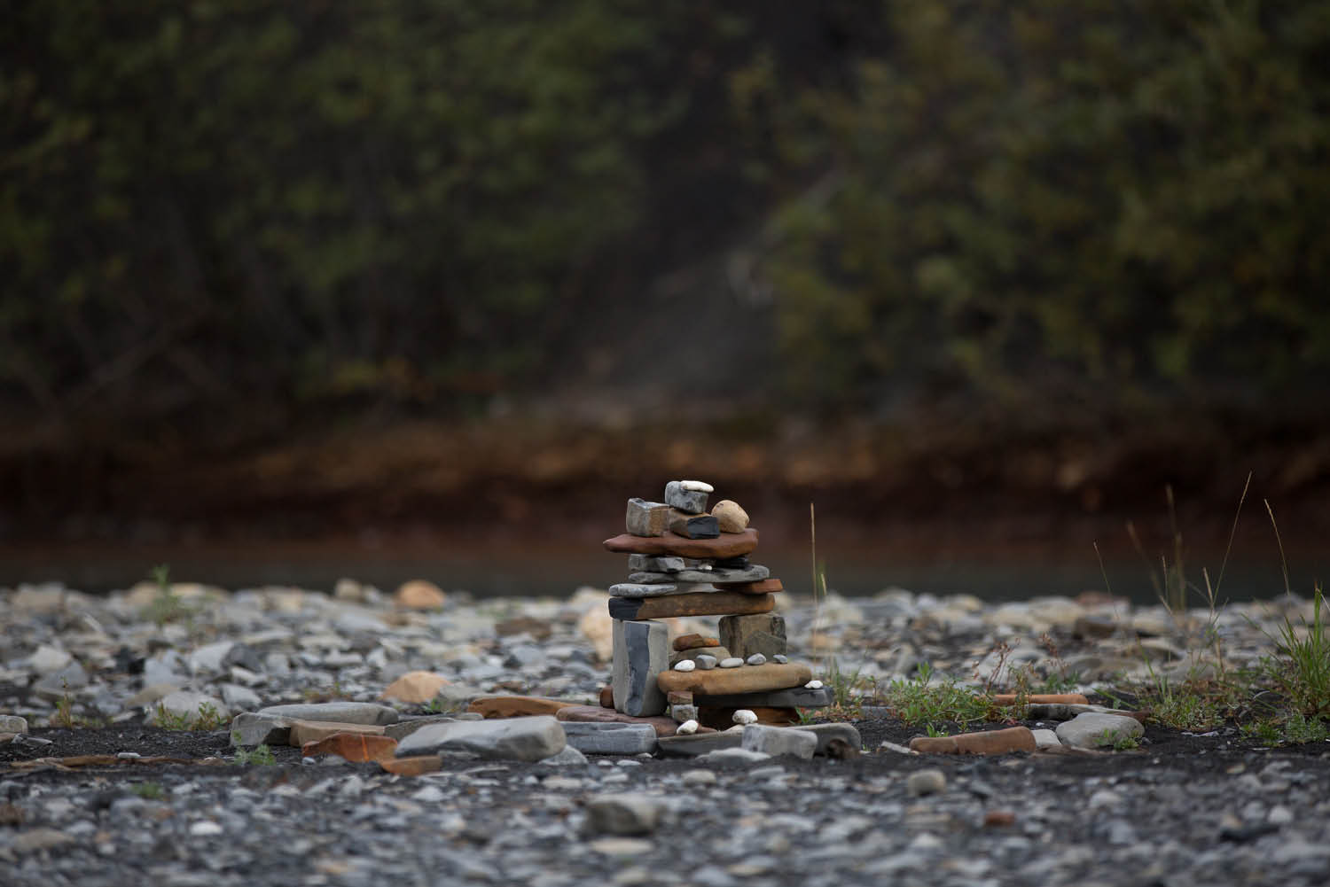
Every passing human adds another rock to the inukshuk: Rock River campground, Yukon (photo: Brook James).
The shaly road magnetically pulls the RV ever northward. The oncoming traffic dries up so much that it feels like I’ve taken a catastrophic wrong turn. The Dempster begins to flaunt its bumps. Little bits of trim rattle off the RV’s kitchen and fall to the floor. The flatscreen TV shakes like a St Bernard trying to dry itself. I slow down to 50 kilometres an hour, then 40, then 30 in some spots, whatever tune that patch of road demands. The big Ford chameleons into its environment, grey road-spray coats its pearl white paint. Inside, dust finds its way into every crack, through closed doors and draws.
The landscape changes its face as quick as a hyperactive toddler. Sheer cliffs guard milky-blue rivers fringed by anomalous red rocks. Signs beg you not to stop under large land slips where boulders randomly freefall. High up on ridges, valleys compete to out-vast the last. Thousands of acres of stunted black spruce forest, blackened by wildfires of barely imaginable scope, make the scene feel deserted, untouchable. But of course these valleys were walked on by nomadic hunters long before folks in motorhomes could complain about bumpy roads.
I pick up a hitchhiker, Bjorn from Switzerland, who’s on the return leg of a monumental continent-spanning bicycle ride. He points out things that only someone cycling the Dempster at 10 kilometres an hour for days at a time could notice: plants, sounds and colours, most of which I’ve sped past so far. He recounts the story of a lone wolf that stalked him on a particularly lonely section of the highway. Eventually, luckily, the wolf just gave up, perhaps in search of less intrepid prey.
Civilisation Eagle (Kilometre 370)
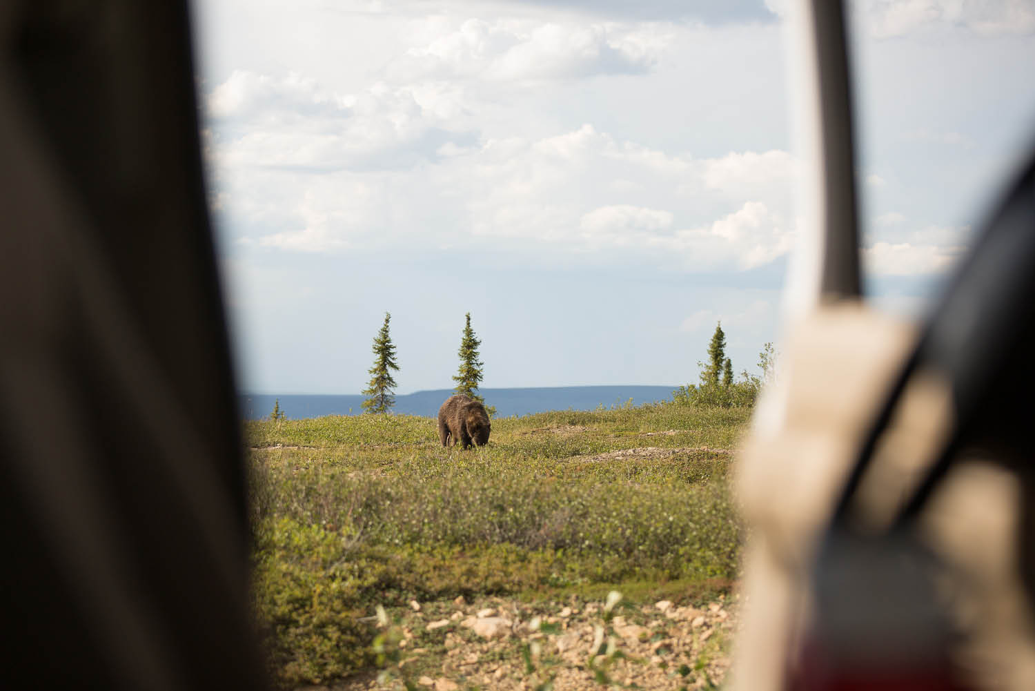
Safe distance: A Grizzly bear takes advantage of the roadside buffet, Dempster Highway, Yukon (photo: Brook James).
According to the sign, Eagle Plains, population nine, is “where the true north begins”. It’s also the first drink for the RV since the attendant-less gas station. The attendant, who’s still got a couple of his front teeth, begins filling up the truck before I even say “howdy”. The view from either side of his ridge-top workshop redefines the word horizon.
Outside Eagle Plains Hotel, Rio the Labrador snoozes deeply. Apparently he’ll wake up for bears and/or food. Inside, my waitress also fills up my coffee cup without prompt, again and again. The steel framed mustard-coloured chairs, shell-patterned carpet, plethora of wall-mounted tomahawks and every other non-sentient thing in here is charmingly frozen in 1974. The dogsled-shaped condiment tray is my favourite fixture. Unfortunately, I don’t think it quite fits in my hand luggage.
The cocktail lounge is like a natural history museum for hunters, with every imaginable critter stuffed and mounted: a gigantic moose head, a wolverine, a juvenile eagle, an arctic fox et al. The grizzly pelt on the wall would almost cover two queen size beds.
The Arctic Circle (Kilometre 403)
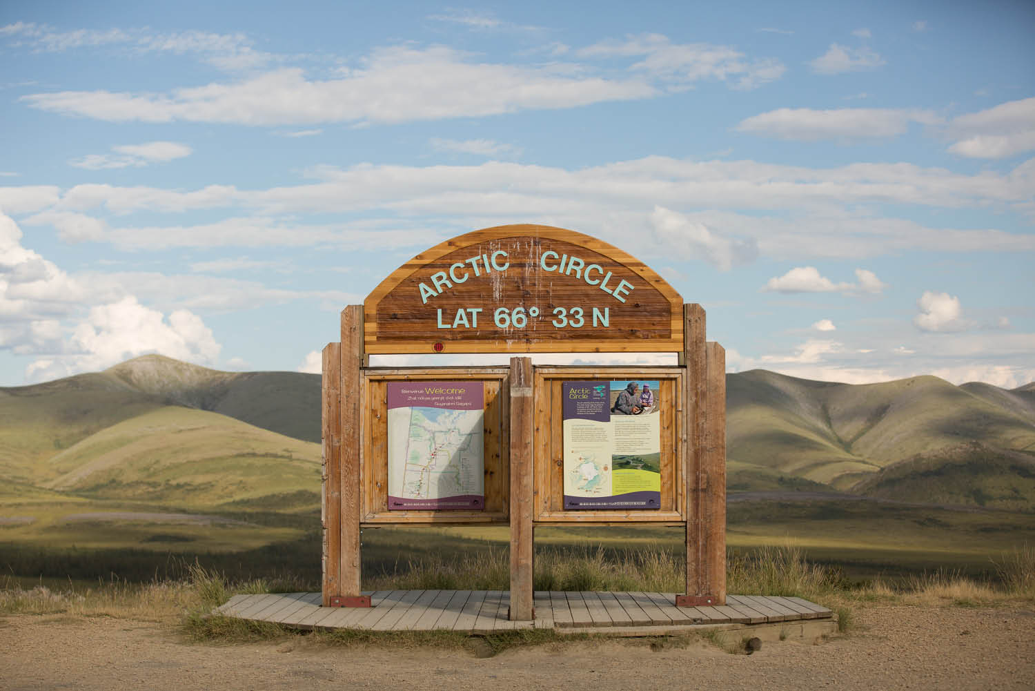
There’s very little human fanfare but the Arctic Circle landscape is its own reward (photo: Brook James).
A sign trumpets “Rest Area 2 Kilometres Ahead” in big bold block letters. In small letters, underneath, are the words “Arctic Circle”. Two kilometres later, there’s slightly more fanfare, an interlocking information board and a picnic table book-ended by long-drop toilets, plopped in a roomy pull-over bay. A pair of squirrels takes turns to entertain passers-by. I read interesting facts from the board for a moment before the Circle’s tundra commands my attention. (Did you know the distance around the Earth at the Arctic Circle is less than half of that around the equator?)
With only a couple months to shine, grasses, mosses and lichens here put on a cabaret show of colour in an environment often misrepresented as ‘barren’. The silence is only occasionally interrupted by a breeze that can turn a warm day into a need-three-layer day on an Arctic whim. A solitary car drives past, north towards Inuvik, without even slowing down. Must be a local.
Camping above the Circle (40 kilometres north of the Arctic Circle)
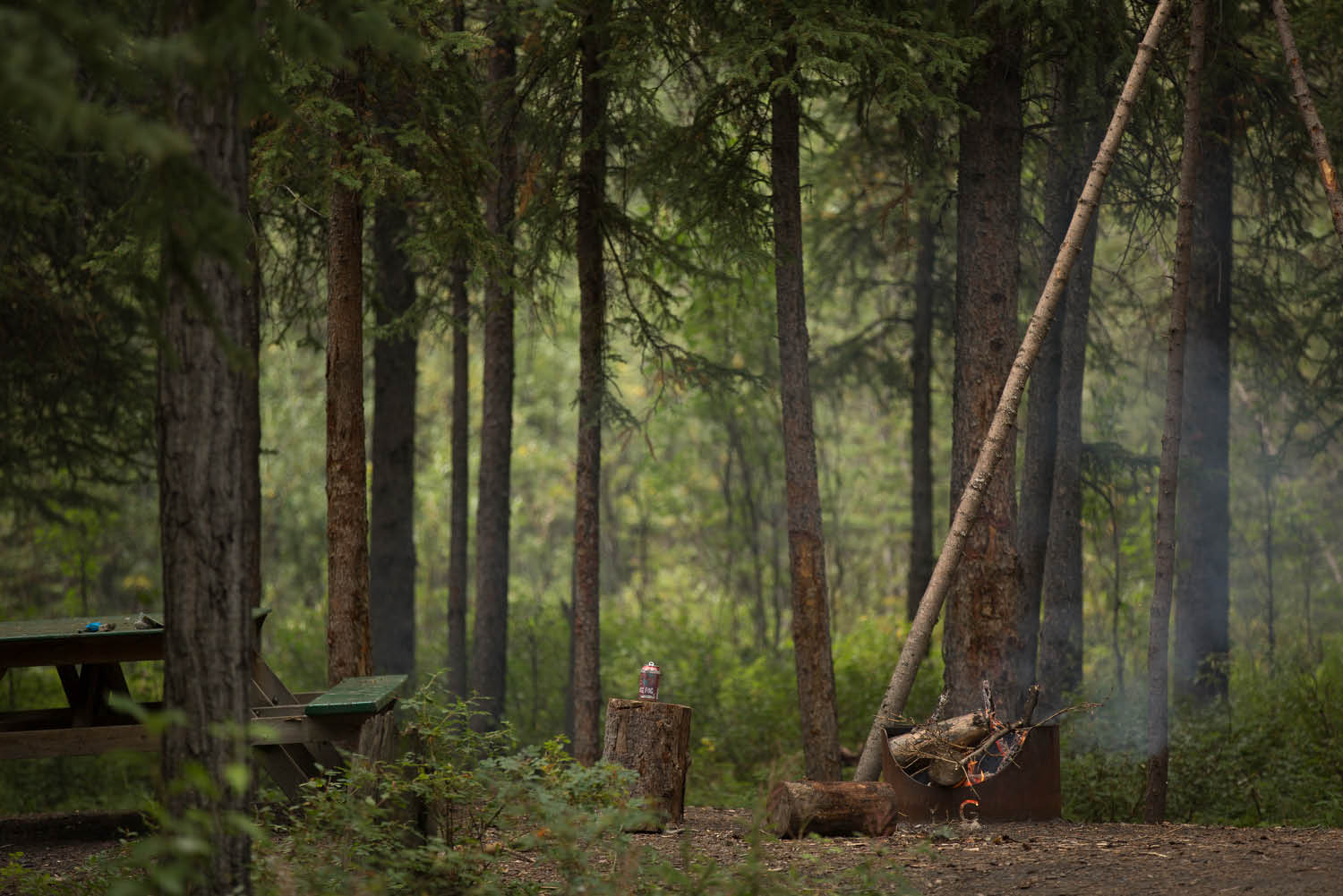
Getting the campfire going… Rock River campground, above the Arctic Circle, Yukon (photo: Brook James).
There can’t be too many more surreal places on earth than Rock River Campground. It’s surrounded by one of the few stands of boreal forest in the area; Arctic tundra is all around, all the way to the Beaufort Sea. Down by the campsite’s token river, hardy travellers wishing to leave proof of their existence and tenacity have constructed smooth-stoned inuksuks (human-shaped land marker). In shallow swamps around its streams, trees fall over each other at unlikely, drunken angles, victims of the permafrost nipping at their roots.
We build a campfire and crack a drink to make a distinctly full-Circle toast. We never stray far from the campfire light because there’s a grizzly around, so say several signs and one local who, when asked how big the bear was, answered: “Big enough to fit you inside.” Bees hover around the RV’s bonnet, feasting on a day’s worth of highway bug harvest. I drink in energy from the once-in-a-lifetime isolation and feed on the intensity of a potential grizzly sighting.
I notice the RV’s solar panels are still taking charging. It’s 11.03pm.
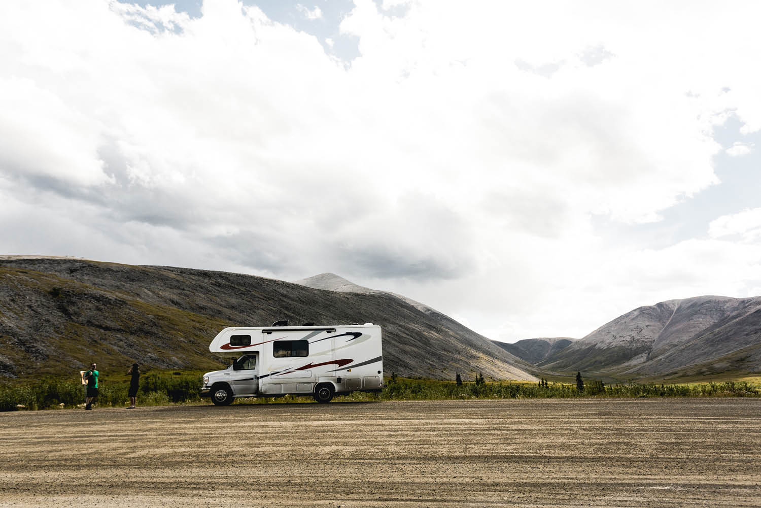
There is absolutely no doubt that you’ll have to wash the RV after completing the Dempster Highway (photo: Brook James).
A few last things: before driving the Dempster Highway…
The Dempster Highway’s gravel, shale and clay surface is driveable in most vehicles, but you need to drive with great care and be reasonably self-sufficient.
– Make sure your tyre pressures are optimum
– Carry one or more spare tyres because flats are very common
– Plan your fuel stops carefully because there are only a few fill-up options between Dawson City and Inuvik (Northwest Territories) at the Dempster’s other end
– Visit NWT Dempster Highway Visitors Centre in Dawson City for advice before you go
– If you plan to hike Tombstone Territorial Park (especially in the backcountry) make sure you’re ‘bear aware’: Parks Canada recommends carrying bear spray

thanks for more memories and photos. we rode up the dempster on motorcycle in july of 1984 part of an 8000+ mile road trip to alaska and yukon. we did not have any dust to worry about. in its place we had lots of cool annd wet and muddy road construction too. it is probably the most remote road i have been on in over 40 years of riding all over us and canada. we turned arround at the arctic circle. we had seen enough mud and cold on our street bikes here and on the Alcan. awesome remote views on this road,hopefully we will return soon to ride it again this time all the way to inuvik and the arctic ocean. travel safe… steve